Eriogonum natum
Great Basin Naturalist 35: 363. 1976.
Herbs, spreading, not scapose, 1–3.5 × 1–4 dm, tomentose, greenish. Stems spreading, without persistent leaf bases, up to 1/4 height of plant; caudex stems absent; aerial flowering stems slightly erect, slender, solid, not fistulose, 1–2(–2.5) dm, tomentose. Leaves sheathing up stem 0.5–2(–3) cm, 1 per node; petiole (1–)2–3 cm, tomentose; blade elliptic, 2–2.5(–3) × (0.8–)1–1.3 cm, densely white-tomentose abaxially, less so and greenish-tomentose adaxially, margins plane. Inflorescences cymose-umbellate, 3–10(–15) × 3–5(–8) cm; branches dichotomous, tomentose; bracts 3, scalelike, triangular, and 1–2 mm, or leaflike, lanceolate, and 5–10(–12) × (1.5–)2–4(–5) mm. Peduncles absent. Involucres 1 per node, rarely 2 per cluster, turbinate-campanulate, 2.5–4 × 2–3 mm, tomentose; teeth 5, erect, 0.5–0.8 mm. Flowers 2–2.5(–3) mm; perianth bright yellow, glabrous; tepals connate proximal 1/4–1/3, monomorphic, oblong to obovate; stamens exserted, 2.5–4 mm; filaments pilose proximally. Achenes brown, 2–3 mm, glabrous.
Phenology: Flowering Jul–Oct.
Habitat: Alkaline clay flats, saltbush communities
Elevation: 1400-1600 m
Discussion
Of conservation concern.
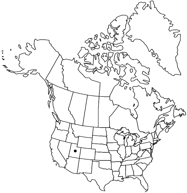
Eriogonum natum is known only from Millard County, where it occurs near Sevier Lake. It is probably a recently evolved species, as its entire habitat was submerged under pluvial Lake Bonneville until some 10,000 years ago. Now isolated and morphologically distinct, it probably originated from E. brevicaule var. cottamii, a plant of limestone outcrops in the hills to the north and east. The species is worthy of introduction into the garden. An unnumbered M. E. Jones collection of E. natum dated 6 June 1913 (POM, UTC) supposedly was collected at Moab, Grand County. There is a question mark above the label on the POM sheet, and whoever added it may have been aware that the sheet was mislabeled.
Selected References
None.
